Maps of Renaissance Tuscany on show for first time in 20 years | Italy
[ad_1]
Maps depicting Renaissance Tuscany are back on display at the Uffizi Galleries in Florence after being hidden from public view for more than 20 years.
The wall paintings were commissioned in the late 1500s by Ferdinando I de’ Medici after the republic of Florence’s conquering of its rival Siena led to the creation the Grand Duchy of Tuscany and depict the newly unified territory.

More than 1,200 cities and towns, whose names are written in gold, are featured in the three maps designed by the cartographer Stefano Bonsignori and painted by Ludovico Buti.
The maps were the first large-scale representation of Tuscany and are displayed in the museum’s “hall of the geographical maps”, where the Italian director Dario Argento shot a scene from his 1996 film The Stendhal Syndrome, about the mysterious illness thought to strike visitors to Florence after they become overwhelmed by the beauty of the city’s artistic masterpieces.
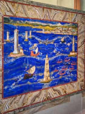
One wall depicts the map of the Florence territory, while another depicts Siena. A third wall features a map of Elba Island off the Tuscan coast.
The room also contains a huge window from where visitors can get a bird’s eye view over the landscape of present-day Florence, including the Palazzo Vecchio and the basilicas of Santa Croce and San Miniato al Monte.

The restoration of the maps cost €700,000 (£600,000).
“Even the smallest and most remote towns are elegantly written in gold and are often accompanied by the first known pictorial representation of the various locations,” said Eike Schmidt, the director of the Uffizi Galleries. “The inhabitants of the [Tuscan] region will be able to recognise places they love in these large maps.”
The room, which also now contains seats for visitors, had been closed since the late 1990s.
“It was a very old-fashioned, stuffy room that was clearly in need of restoration, although the official reason for keeping it closed was always lack of staff,” said Schmidt. “The wall paintings were darkened and you were really able to notice the dust. We’ve been able to restore them, clean them and install technology that automatically counts the number of people inside the room at one time.”
The maps will be on show to the public from Tuesday to a maximum of 20 visitors at a time.
The maps were commissioned by Ferdinando I to celebrate the conquering of Siena by Florence. Ferdinando I was the son of Cosimo I de’ Medici, the first grand duke of Tuscany, who commissioned the architect Giorgio Vasari to build the Uffizi palace in 1560.
[ad_2]
Shared From Source link Arts